The road
- Secondary roads, not high-speed corridors.
- No motorways. No tolls.
- Scenic continuity takes precedence over efficiency.
Basel · Iberian Peninsula · Basel
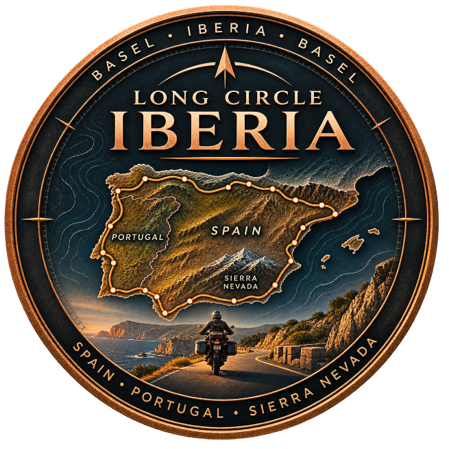
A 63-day motorcycle circuit tracing northern Spain, the Atlantic coastline of Portugal, the mountains of Andalusia and Spain’s Mediterranean return — on secondary roads, without motorways or tolls.
Follow the geography. Keep the road.
Basel · Iberian Peninsula · Basel
Follow the geography. Keep the road.
Long Circle Iberia is a deliberately unhurried motorcycle expedition from Basel around Spain and Portugal and back. The route follows the contours of coastlines, river valleys and mountain systems rather than the fastest line between destinations.
The intent is to experience Iberia at road level: the Basque coast and Picos de Europa, Galicia’s Atlantic edges, Portugal’s Douro Valley and western headlands, the Andalusian interior, Sierra Nevada and the Mediterranean coastline.
This website records the plan before departure and, when the expedition takes place, the reality of each day: ridden GPS tracks, field notes, photographs, route changes and the final narrative. Planned and ridden routes remain separately visible.
Receive route updates, field notes, and photos as the journey unfolds.
New entries delivered to your inbox. No spam.
Live position access
Request access, get approved in admin, then sign in on /tracking or /map. We never email you. Not public.
Basel → northern Spain → Portugal → Andalusia → Mediterranean Spain → Basel
Before each stage: the plan. After completion: the record.
Pre-departure brief
The expedition begins in Basel and immediately favours the secondary-road rhythm of the Jura over the speed of French motorways. Dole is the first overnight stop: a practical arrival that also sets the tone for a route b…
Weather log · operational telemetry
Ferry crossings
1 logged
Forced reroutes
Terrain & closures
Original photographs from the expedition, added as the journey progresses.
Field photographs will be added during the expedition.
The road, the landscape, the record
A planned 63-day motorcycle journey from Basel around Spain and Portugal and back, prioritising secondary roads and major geographic and cultural landmarks.
No. The route and daily planning notes are being prepared. Completed-day journals and actual GPX recordings will be published after the relevant stages are ridden.
The route-planning rule is to avoid both. The initial itinerary is only a waypoint-level plan; each stage must be manually routed and checked before it is described as navigation-ready.
Only stages with a published, manually prepared GPX file can offer a planned-route download. The website will distinguish published GPX tracks from provisional route outlines.
Yes. Day 44 reserves a dedicated Granada–Sierra Nevada–Granada mountain loop toward Pradollano and Hoya de la Mora, subject to current vehicle access and weather. It does not imply vehicle access to Veleta summit.
Planning Notes explain the intended route, highlights and conditions before a stage. The journal records the actual experience only once that stage is completed.
Use the route index and Planning Notes now; field dispatches, original photography, recorded tracks and any enabled live tracking will be available when the journey is underway.