field log · rider record
About
Follow the geography. Keep the road.
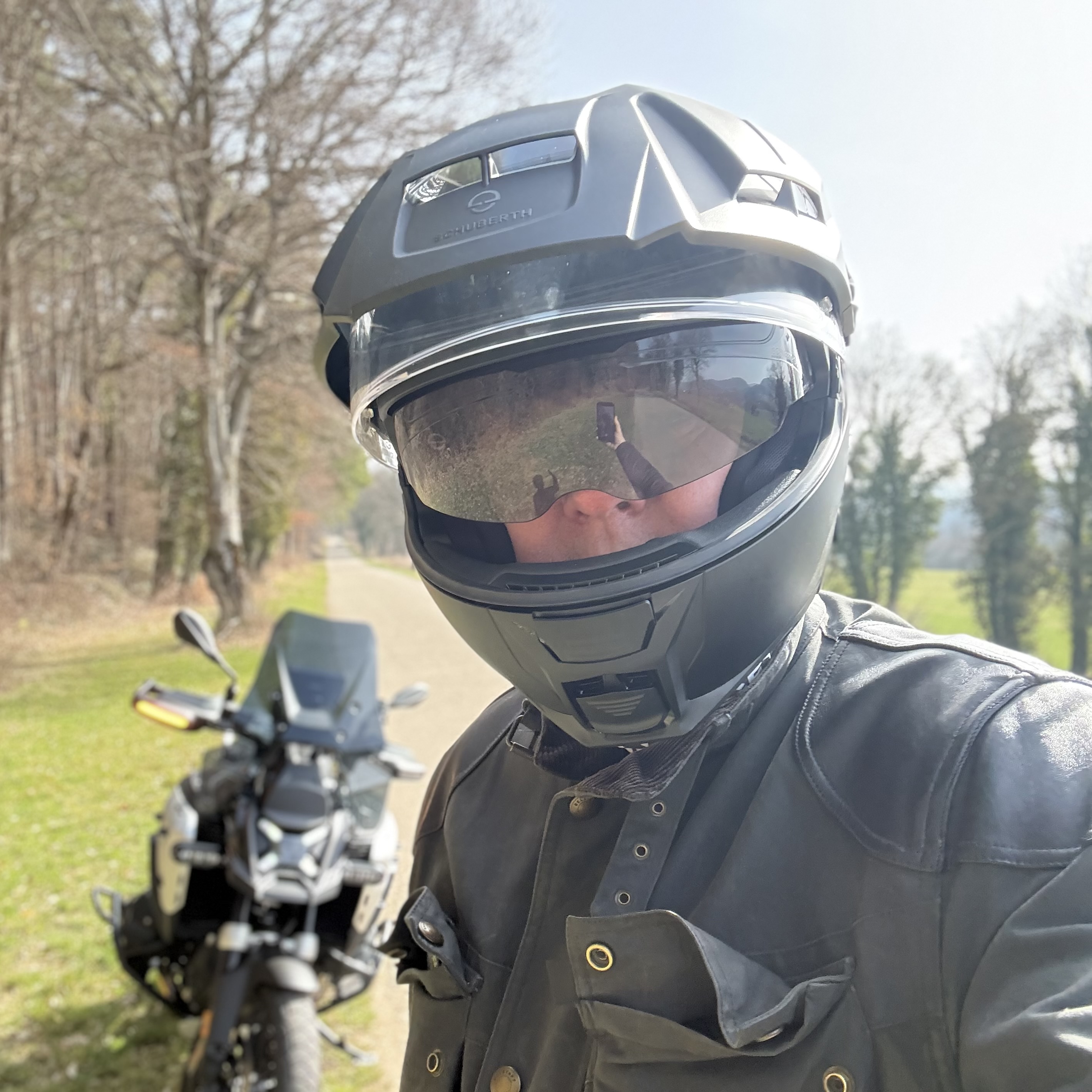
I'm René
I document motorcycle expeditions as a sequence of decisions, roads and places — with the planning visible before departure and the lived experience recorded afterward.
For Long Circle Iberia, every riding stage is first defined as an intended route. The precise road geometry is created manually in an external routing system, imported as GPX and then compared with the actual recorded track after the day is ridden.
The objective is not to collect motorway kilometres. It is to create a permanent, geographically precise archive of a journey through the Iberian Peninsula.
Beyond the Ride
Beyond riding, I build systems that document expeditions in real time — combining route mapping, GPX archives, photography, telemetry, and daily narrative logs. The objective is not only to ride the route but to create a permanent, navigable record of the journey.
Professionally, I work in digital health and AI, currently building Telephōs Intelligence, a platform focused on behavioral measurement and clinical decision support in neurology and psychiatry. That professional mindset carries over into expedition riding: routes are planned like field studies, terrain is documented systematically, and each journey becomes a reproducible record rather than a one-time trip.
Why I Ride
Terrain Over Transit
Modern travel optimizes speed and efficiency. My approach rejects that metric. A road is valuable not because it shortens distance, but because it reveals elevation, curvature, weather exposure, and the structure of the landscape.
Documentation as Purpose
Each expedition is systematically recorded. Routes are archived as GPX files, segments are mapped, and daily logs document conditions, terrain, and decisions made along the way. The journey becomes a structured archive.
Solo by Design
Riding alone removes compromise. Route choices, pace, and adjustments happen directly in response to terrain and conditions. Solo travel creates a clearer relationship between rider, machine, and landscape.
Long Circle Iberia
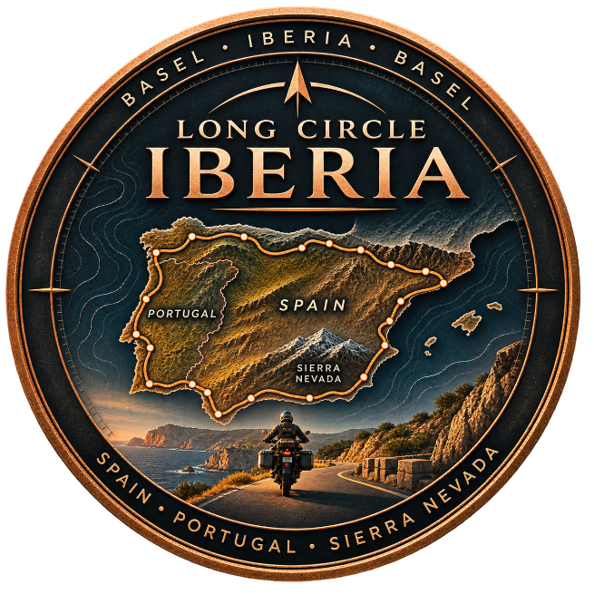
Long Circle Iberia is a solo motorcycle expedition in planning — the northern companion to The Long Circle South. Endpoints, distance, and calendar will be announced here.
Rather than optimizing distance, the route will follow geographic structure — mountain chains, coastlines, and interior ridges. Distance and regions will be published when the arc is finalized.
This site serves as the expedition's operational log. It integrates real-time ride tracking, mapped route segments, GPX navigation files, daily narrative entries, and photography. Each segment of the journey is recorded and archived for riders who want to follow the expedition or replicate parts of the route.
Follow the JourneyServices
Beyond riding, I design expedition documentation systems.
These systems combine route mapping, GPS tracking, daily logs, photography, and structured narrative into a dedicated expedition platform. If you are planning your own motorcycle journey and want a similar system — including live route visualization, GPX archives, and ride documentation — I build these infrastructures for independent riders, expeditions, and adventure projects.
Learn about expedition website servicesConnect
If you want to follow the expedition, collaborate on a similar project, or build your own expedition platform, you can reach me here.